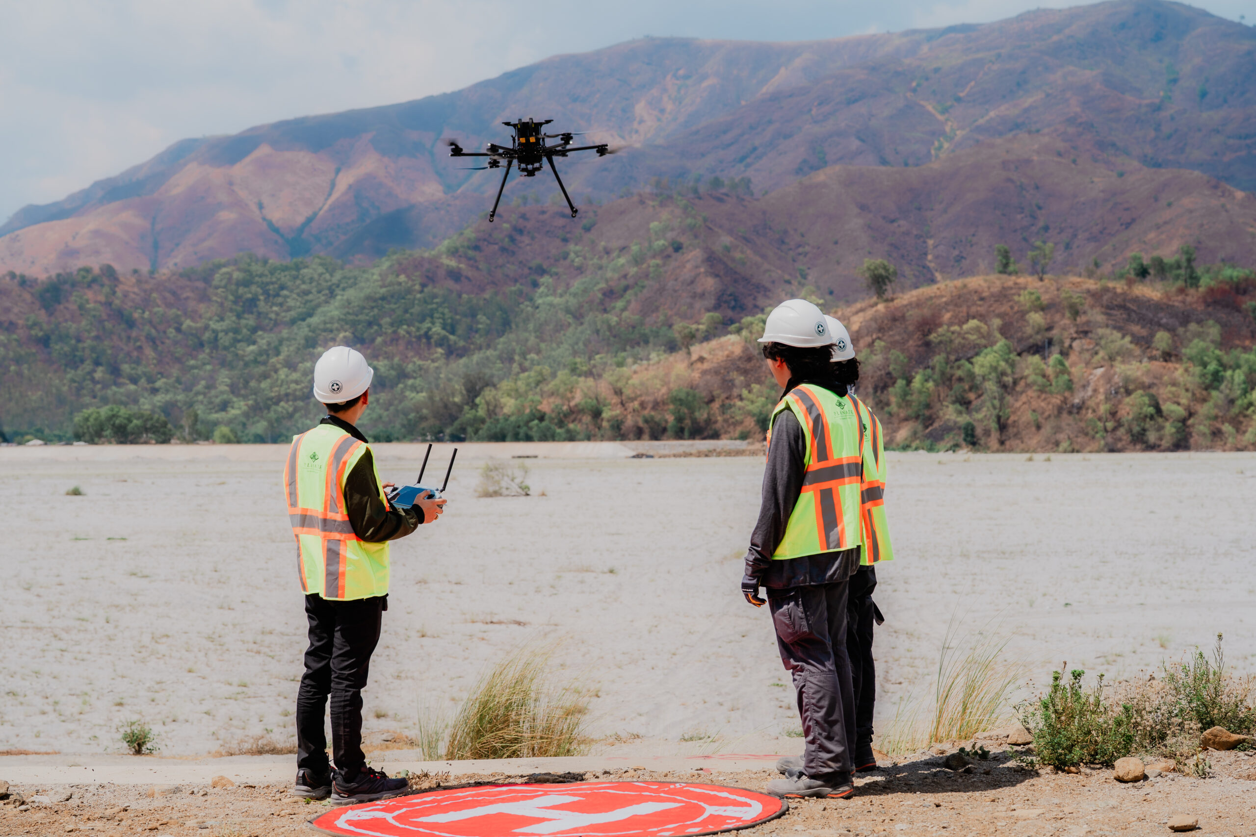
Planate Management Group’s Global Technology and Innovation division operates with Blue UAS and NDAA-compliant platforms. That is the starting point for any government-facing drone engagement, and it shapes how we build our capability, select our equipment, and deploy our teams.
What We Deliver
Planate’s drone capability is not a standalone service. It sits within a broader geospatial and engineering framework that includes:
- Aerial LiDAR mapping — survey grade topographic mapping, corridor and linear infrastructure, LAS/LAZ point clouds, DEM/DTM/DSM deliverables
- Photogrammetry and oblique imaging — high resolution orthomosaics to ≤1–3 cm/pixel GSD, 3D textured meshes, volumetric calculations
- Utilities and infrastructure inspection — powerline clearance modeling, pole and tower assessments, bridge and facility inspections
- Thermal and infrared condition monitoring — roof and solar PV inspection, substation monitoring, leak and water intrusion detection, day and night operations
- Construction progress and as-built documentation — BIM and CAD integration, cut/fill analysis, ground control and independent checkpoints for defensible QA/QC
- Emergency response and rapid mapping — disaster assessment, situational awareness mapping, time-sensitive data delivery
The value of that combination is that UAV data collection feeds directly into engineering analysis — point cloud data, orthomosaic mapping, and thermal imaging are interpreted by engineers, not just delivered as files.
That distinction matters. A drone flight produces data. What a client needs is an assessment — and that requires the technical expertise to translate raw capture into actionable findings.
Why Blue UAS Compliance Matters
For federal agencies and the primes they work with, drone platform selection is no longer discretionary. The American Security Drone Act and subsequent DoD guidance have placed significant restrictions on the use of foreign-manufactured UAS in government programs. For subcontractors and teaming partners, the requirement is straightforward: platforms need to be on the Blue UAS list. Planate meets that standard.
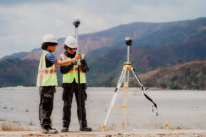
Our teams combine certified UAS pilots, licensed survey professionals, and aerospace engineers. Our focus is on safe collection, fast turnaround, and accurate, repeatable geospatial deliverables.
The Broader Indo-Pacific Context
Planate operates across the Indo-Pacific — with offices and projects in the Philippines, Guam, Palau, Papua New Guinea, Taiwan, and Thailand. Drone-based assessment capability is particularly relevant in this geography, where infrastructure is often distributed across remote or island locations, post-disaster access is constrained, and rapid documentation is operationally critical.
As U.S. federal investment in Indo-Pacific infrastructure continues to grow — through programs supporting base resilience, partner nation capacity, and disaster preparedness — the demand for compliant, technically grounded drone capability in the region will increase.
Planate’s Global Technology and Innovation division is positioned to support that demand, as a prime or as a teaming partner, across government and development programs operating in the region.